- Man charged with sparking the most destructive wildfire in Los Angeles history
- Carolina Hurricanes start 2025-26 season hosting New Jersey Devils
- Speedy Sparks, bassist for Texas Tornados, other San Antonio music icons, has died
- Authorities make an arrest related to deadly January wildfire that leveled LA neighborhood
- AI simulation gives Carolina Hurricanes 20% chance to win 2026 Stanley Cup
Hurricane Sally remnants move out of central North Carolina, clearing the way for cooler temperatures

The Flash Flood Watch was canceled for the entire ABC11 viewing area, except for Northampton County. Although the Flash Flood Watch remains active for counties in Eastern North Carolina.
The remnants of Hurricane Sally did not dump as much rain on the Carolinas as predicted. The heaviest rain in the ABC11 viewing area was in Franklin and Warren counties, where somewhere around 3-4 inches fell.
Part of Cumberland County saw around 2 inches of rain, while the Triangle area saw around 1 inch.
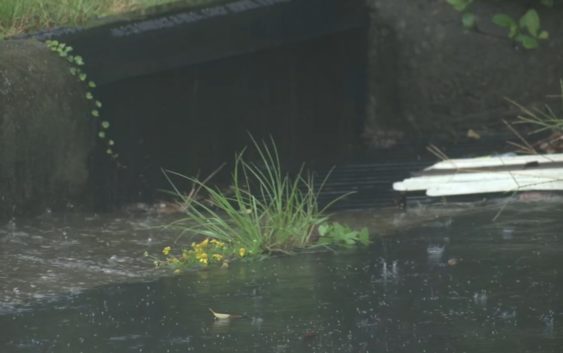
WATCH: Rain from Sally falls in the Triangle
Temperatures on Friday will stay in the low to mid 70s. We’ll clear out over the weekend with highs Saturday in the 60s, instead of the 70s, and the temps continue to drop Saturday night.
Sunday we wake up to mainly clear skies and temps hovering around 50. That’s 10 degrees below a typical morning low for this part of September. But hold on to your electric blankets, because even colder mornings work in Monday and Tuesday.
As the center of the high pressure works over us it will keep us in the 60s for highs (Normal is around 80), and morning lows on Monday and Tuesday will be in the 40s.
Copyright © 2020 WTVD-TV. All Rights Reserved.