- Habitat for Humanity helping Rock Hill residents assess, clean up storm damage. They are also seeking volunteers
- Smokehouse Creek wildfire victims line up lawsuits against utility
- Will Mexico wildfires impact Houston's air quality?
- The worst tornadoes in North Carolina History
- Hurricane-proof your NC home: Essential steps to weather the storm
Hurricane Ian moving in on SC coast as showers move into Charlotte area
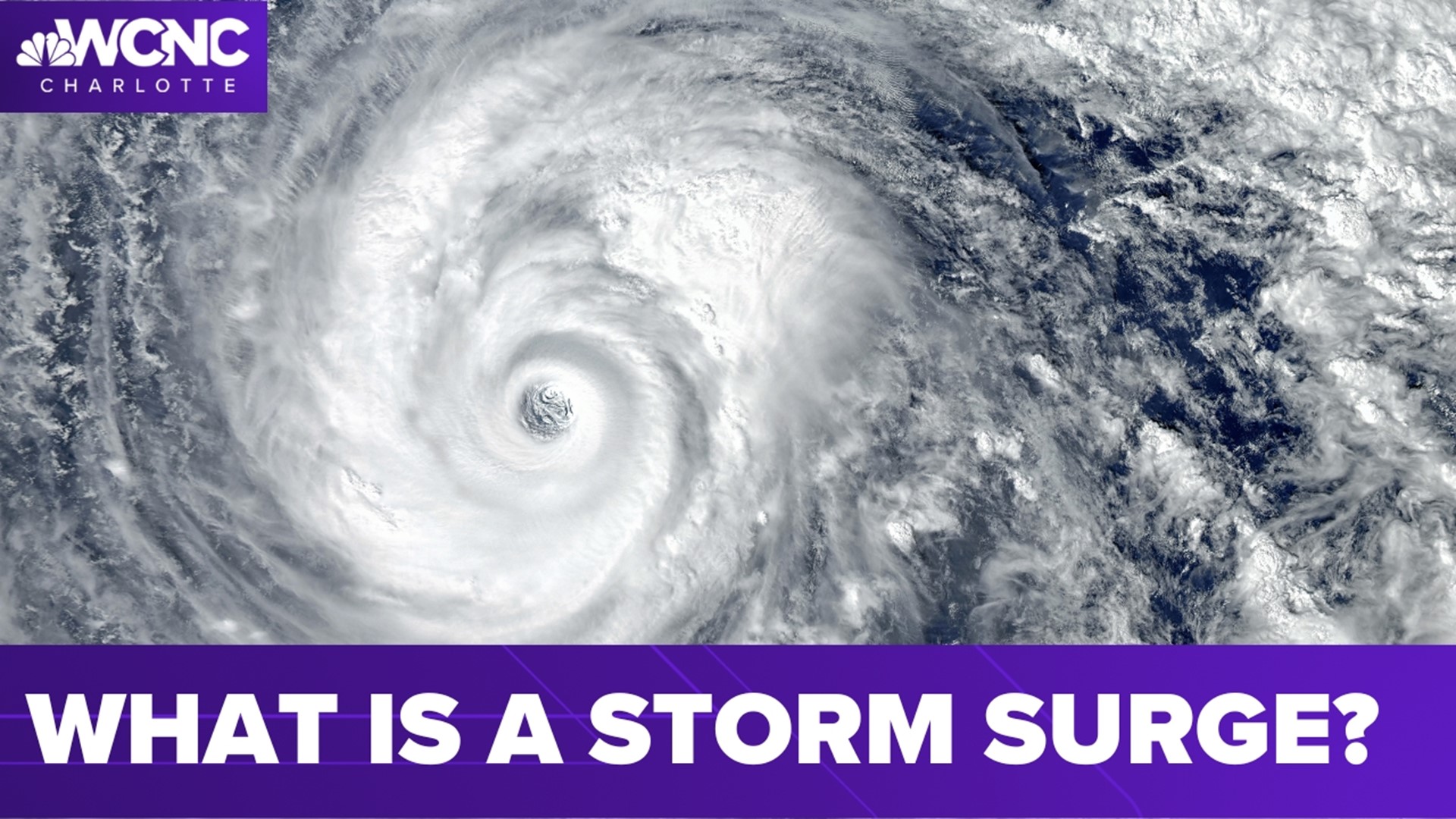
Hurricane Ian’s winds are around 85 mph as it moves toward the South Carolina coast, bringing heavy rain and storm surge to the Carolinas.
CHARLOTTE, N.C. — More than 250 flights have been canceled at Charlotte Douglas International Airport ahead of Hurricane Ian, which is expected to bring heavy rain and gusty winds to the Charlotte metro Friday.
According to FlightAware, 264 flights at Charlotte Douglas were canceled as of 9:10 a.m. More than a dozen flights were delayed. The first rain from Ian’s outer bands moved into the Charlotte area by 7 a.m. Friday, chief meteorologist Brad Panovich said. Ian is expected to make landfall along the South Carolina coast early Friday afternoon.
A Tropical Storm Warning is in effect for most of the Charlotte area as Ian continues to move north toward the Carolina coast with heavy rain, damaging winds and significant storm surge.
A Tropical Storm Warning is in effect for Anson, Cabarrus, Catawba, Chester, Chesterfield, Gaston Iredell, Lancaster, Lincoln, Mecklenburg, Richmond, Rowan, Stanly, Union and York counties in the Charlotte area ahead of Tropical Storm Ian. The warning is in effect until further notice.
Our biggest impacts locally will be gusty winds and heavy rain, mainly Friday night through Saturday morning. Charlotte-Mecklenburg Schools announced all schools will operate remotely Friday out of an abundance of caution. CMS joins several other districts in the Charlotte area that will have virtual learning due to the forecast.
Friday is a Weather Aware Day. Any time a person sees the Weather Aware label on the forecast or on social media, they know it’s about their personal safety, their family’s safety and protecting their property.
Beyond the typical severe weather, there are dangerous heat waves, record-breaking cold snaps or even hazardous winds that could impact people’s safety. Those instances would cause WCNC Charlotte’s Weather Team to tell everyone they should be Weather Aware.
More Videos
Ian carved a path of destruction across Florida, trapping people in flooded homes, cutting off the only bridge to a barrier island, destroying a historic waterfront pier and knocking out power to 2.5 million people as it dumped rain over a huge area on Thursday.
Ian’s impact on the Carolinas
A revived Hurricane Ian set its sights on South Carolina’s coast Friday and the historic city of Charleston, with forecasters predicting a storm surge and floods after the megastorm caused catastrophic damage in Florida and left people trapped in their homes.
“I’m a little more confident we’re going to see some pretty good wind gusts,” Panovich said. “We’re not under any advisories or watches yet, but that doesn’t mean we’re not going to see the impacts.
The National Hurricane Center predicted that Ian will go through a rapid intensification over the Atlantic which is why the storm has restrengthened to a Category 1 hurricane as of 5 p.m. Thursday.
Panovich says the impacts won’t change for the Carolinas, as storm surge and heavy rain are the biggest factors expected in the area.
More Videos
Friday in the Carolinas
Ian is now a Category 1 hurricane as it moves toward the South Carolina coast, where it will come ashore Friday, bringing with it storm surge on the coast and heavy rainfall and strong winds in other parts of the state.
Panovich says there will be problems in coastal areas with storm surge and flooding potential.
“If you’re on the South Carolina coast, I’m really concerned about the Charleston area, which is susceptible to high water all the time,” Panovich said. “You’re talking six, seven feet of water coming in some areas. You get closer to Charleston, you can see the high water levels. As you get closer to Charleston Harbor, this could be one of the highest water levels they’ve seen in a while just because of the angle of approach and the setup.”
Panovich said the worst of the weather in the Charlotte region will be on Friday and Friday night. Friday will bring heavy rain and gusty winds. The worst weather will begin on the Carolina coast Thursday night, with high winds, storm surge and heavy rain.
More Videos
“By Friday morning, you can see after sunrise the weather is going to go downhill pretty quickly in Charlotte,” Panovich said. “Most of Friday, these heavy rain bands move in. You could see heavier rain by the middle of the day moving in and once we get to the afternoon, we’re in for some really big downpours. Friday is going to be absolutely ugly.”
If you’re looking for some good news, Panovich doesn’t anticipate any severe weather in the Charlotte area because the air isn’t warm enough to produce severe storms. Eastern North Carolina and South Carolina will be at risk for tornadoes, including Wilmington, Myrtle Beach and the entire Interstate 95 corridor.
Panovich expects tropical-storm-force winds in the Charlotte metro by Friday’s afternoon commute. These winds could be gusting up to 50 mph along with heavy rain. If you can avoid driving Friday afternoon and evening, it’s best to stay home while the worst of Ian moves through.
Panovich expects maximum wind gusts of 45-50 mph in some areas while Ian moves over the Carolinas. Sustained winds could be 20-25 mph across the Charlotte area.
Saturday in the Carolinas
The storm will move through the Piedmont fairly quickly Friday night, which is good news for any flooding. The mountains and foothills of North Carolina will be at a greater risk of flooding as the rain lingers on Saturday. Panovich said the flash flood risk is pretty significant, especially in the mountains where the runoff will be moving quickly.
Panovich said there could be flash flooding in North Carolina cities across the area, including Charlotte, Concord, Gastonia, Hickory and Huntersville as Ian drenches the Carolinas. Fortunately, it’s moving quickly for most of the Charlotte metro.
“Saturday afternoon is looking much better,” Panovich said. “It’s probably going to be windy with some isolated showers but not too bad.”
Ian rainfall projections for the Carolinas
North Carolina mountains: 4-7 inches
Charlotte metro: 3-5 inches
Sunday should be a much better day in the Charlotte area, which is good news for the Panthers game on Sunday at Bank of America Stadium.
Overall Ian impacts
Regardless of whether Ian is classified as a hurricane, tropical storm or depression, the impacts from the storm in the Carolinas will remain the same.
Rainfall amounts upwards of 8 inches are possible in the Carolinas. In Charlotte, rain totals are likely between 3-5 inches. Upwards of 7 inches are possible across the North Carolina foothills and mountains.
Winds will gust as high as 50 mph in the North Carolina mountains. The strongest wind gusts in Charlotte are expected to be between 40-45 mph.
Along the coast, storm surge totals could reach 5 feet in places like Charleston.
What you can expect from WCNC Charlotte?
Brad Panovich and the WCNC Charlotte weather team will provide updates on Ian throughout the weekend.
Receive severe weather alerts straight to your phone by downloading the WCNC Charlotte app, where you can also send the team photos and videos of the storm as it is safe to do so.
Brad and the team will have expanded, live-streaming coverage of the storm, which you can watch for free on the WCNC Charlotte phone app, the WCNC+ apps for Roku and Amazon Fire, YouTube, and on WCNC.com.