- U.S.-based aid groups rush to get supplies into storm-battered Jamaica after Hurricane Melissa
- Travelers stuck in Jamaica due to Hurricane Mellissa forced to pay for unwanted extended stay
- Raleigh police officer awaits word from family in Jamaica after Hurricane Melissa devastation
- North Carolina’s leaders give insight on the effects of Hurricane Melissa
- ‘We want some answers;’ Whiteville residents demand city response to prevent flooding
Tornado watch triggered for San Antonio as severe storms arrive within hours

Update: 2:45 p.m. on Monday, May 26: A Tornado Watch has been issued for several South Central Texas counties, including Bexar County, until 10 p.m. on Monday, May 26, according to NWS. Primary threats include a couple possible tornadoes, scattered large hail and isolated very large hail and scattered damaging wind gusts up to 60-70 miles per hour.
NWS says there is Level 3 of 5 Risk for severe storms for the I-35 corridor, including Austin, for late this afternoon through tonight. There is also a Level 2 of 5 Risk of severe storms for Tuesday going into the night and a Level 2 of 4 Risk for excessive rainfall through Tuesday night, according to NWS’ latest situation report.
There is a 5-9% tornado chance for the western Hill Country and Southern Edwards Plateau and 2-4% tornado chance for the I-35 corridor, eastern Hill Country and northern Coastal Plains. There is a 30-44% change for large hail in the Hill Country and northern I-35 corridor and a 15-29% chance for large hail for areas along and north of I-10 and Highway 90, according to NWS. There is also a 10% chance for for 2+ inch diameter hail in some areas.
NWS is warning of a 30-44% chance of damaging winds for the I-35 corridor, Hill Country and Southern Edwards Plateau with a 10% chance of 74+ mph wind gusts. There is also a 15-29% chance for damaging winds across the coastal plains and portions of the Southern Edwards Plateau, according to the situation report.
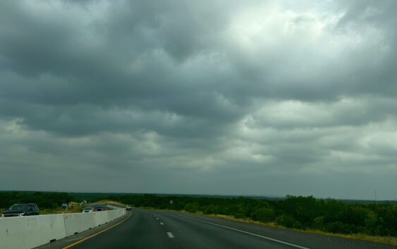
If you’re in the Alamo City and looking out your window right now (depending what side of town you’re on), you may notice storm clouds developing in the area. While severe weather is not here quite yet, meteorologists are warning thunderstorms could be on the way very soon.
The severe storm risk for the region has upgraded to a Level 3 of 5, according to the National Weather Service’s latest situation report. Main threats include large hail, damaging winds, heavy rain and an isolated tornado or two can’t be ruled out.
NWS warns a round of strong to severe storms could hit the the Hill Country and Southern Edwards Plateau on Memorial Day afternoon, Monday, May 26, into late night. Severe weather is expected to return on Tuesday afternoon, May 27, into the night hours and continue throughout the week until Thursday, May 29, according to NWS.
Storms could produce “heavy rainfall rates and isolated instances of flash flooding,” with 1 to 3 inches of rain expected through Wednesday, May 28. While it’s uncertain the exact timing and placement of the showers and storms, some locations may miss out on storms at any given day and night, according to NWS.
Local meteorologists are weighing in on the potential of severe weather in the San Antonio area. KSAT Meteorologist Sarah Spivey warned San Antonians to “stay weather aware,” as the Alamo City is not exempt from severe storm risks including large hail and damaging winds.
“Here in San Antonio and the Hill Country, there is a small chance for severe weather, so if a storm develops and there’s a 30 to 40% chance, then it would become severe with hail and gusty winds the big concern,” Spivey said in a post on X. “Bottom line, don’t cancel your Memorial Day plans but do have a back up to duck inside just in case.”
KENS 5 Meteorologist Jeremy Baker also warned San Antonio of “some severe storms on your holiday,” and encouraged residents to “keep an eye to the sky for the possibility of large hail and strong damaging winds.”