- Austin and Travis County issue disaster declaration as wildfire risk rises
- Raleigh rethinks how to grow as flooding, heat and traffic worsen
- New legislative panels will investigate ‘facts and circumstances’ of deadly Central Texas floods
- Heavy rain floods downtown Whiteville forcing local businesses to deal with damage again
- New legislative panels will investigate “facts and circumstances” of deadly Central Texas floods
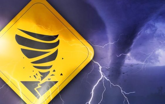
Remnants of Tropical Storm Michael likely to cause tornado warnings across the Cape Fear
Share on Facebook
Tweet on Twitter
BURGAW, NC (WWAY) — As remnants of Tropical Storm Michael moves across the Carolinas today, there will be an increased chance for tornadic activity across the Cape Fear.
At 8:37 a.m., the National Weather Service reported severe thunderstorm activity south of Burgaw with the potential of developing into a tornado. A warning was issued for central Pender County which expired at 8:45 a.m.
– Advertisement –
The immediate areas in the warning area included Burgaw, St. Helena, Ashton and Twin Oak. The storm was moving north.
As Tropical Storm Michael advances into the Carolinas today, there is the potential for other tornadoes to develop as the powerful storm systems continues to track northeast toward Virginia.
If you are in an area under a tornado warning or watch, you should get out of a mobile home and seek shelter in a more permanent structure. You should also seek shelter in an interior portion of a home or building until the threat passes.
A tornado warning means severe thunderstorms with tornadoes are imminent or occurring. A tornado watch is issued when weather conditions are favorable for the development of severe thunderstorms that are capable of producing tornadoes.
Stay tuned to WWAY throughout the day for the latest weather updates.