- Road closures reported due to flooding in Myrtle Beach
- Town of Wrightsville Beach preparing for coastal flooding this weekend
- Man charged with sparking the most destructive wildfire in Los Angeles history
- Carolina Hurricanes start 2025-26 season hosting New Jersey Devils
- Speedy Sparks, bassist for Texas Tornados, other San Antonio music icons, has died
Flood Advisory issued for parts of the Charlotte area
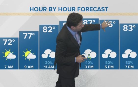
Sunday more scattered storm cells will pop and it should be more active tomorrow than what we had in place today! Monday as of right now looks to be the coolest day (due to cloud cover and rain). This is also the best chance for more widespread showers and storms so keep that in mind.
After Monday… We will have a “slightly” drier airmass in place with highs in the low 90’s heading into next weekend with the typical chance (20%) for a pop-up or isolated thunderstorm during the afternoon!
Have a wonderful rest of your weekend!
-Chris Mulcahy
Copyright 2018 WCNC