- A West Texas county wants to better prepare for floods. Paying for it will be tricky.
- They couldn’t save their daughters’ lives in the July 4 floods. Now they’re dealing with the grief and the guilt.
- Austin could see heavy rains, possible flooding over the next few days
- Families of campers, counselors who died in Texas Hill County floods sue Camp Mystic
- Small plane bound for Jamaica with hurricane relief supplies crashes in Florida neighborhood
Hurricane Laura Should Be a Major Storm at Landfall Somewhere Nearby
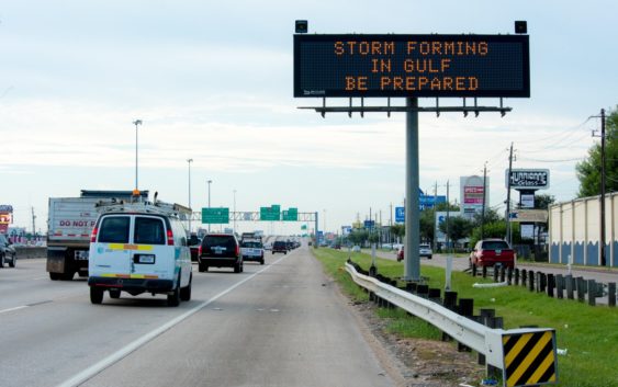
We wish we could report better news this morning, but forecast models have continued to trend westward overnight and now have a potentially very dangerous category 3 or 4 hurricane bearing down on the upper Texas coast overnight Wednesday into Thursday.
The ridge of high pressure that is steering the storm is a little strong than anticipated, hence the westward nudge in the forecast track. As of the 10 a.m. update, the cone of uncertainty from the National Hurricane Center extends from Freeport to Morgan City, Louisiana. Hurricane warnings are posted for the same area, which includes Galveston and Houston.
A full evacuation of Galveston Island is underway as well as a similar order in Jefferson County near Beaumont. Laura is expected to make landfall in the wee hours of Thursday morning and, at this point, it seems likely that a point somewhere between Galveston and Beaumont is most likely, but any wobble to the left and we could have a storm right over Houston.
The good news is this will be over quickly. Unlike Harvey, flooding is not expected to be a significant issue. Flash flooding in low lying areas will do what it does during heavy rainfall, but nothing like we saw in 2017.
Additionally, this storm will move quickly through the area. The first wind and rain should begin to reach the area Wednesday afternoon and deteriorate from there. But by later in the day Thursday, Laura should have cleared us well to the north.
Also, because Laura is a relatively small storm, the strongest winds will be in a relatively small area. Hurricane force winds will extend well out from the center, maybe 30-40 miles, but the worst will be just north and east of the eye, so the exact spot of landfall is fairly critical. If the storm stays to our east, we should experience only minimal impacts with wind and rain throughout Wednesday and Thursday. If it were to move a little west and south, we could take a direct hit.
At this point, it’s a good time to get all your potted plants and loose items in from outside and stowed away. Make sure you have your pets in a safe place and you have medications and supplies. Additionally, you might want ice and maybe a backup generator as even a glancing blow will likely down power lines and cause power outages much like we saw in 2012 with Hurricane Ike.