- Carolina Hurricanes start 2025-26 season hosting New Jersey Devils
- Speedy Sparks, bassist for Texas Tornados, other San Antonio music icons, has died
- Authorities make an arrest related to deadly January wildfire that leveled LA neighborhood
- AI simulation gives Carolina Hurricanes 20% chance to win 2026 Stanley Cup
- Warf steps down as president of Carolina Hurricanes
Rain ends, but flooding danger lingers throughout North Carolina
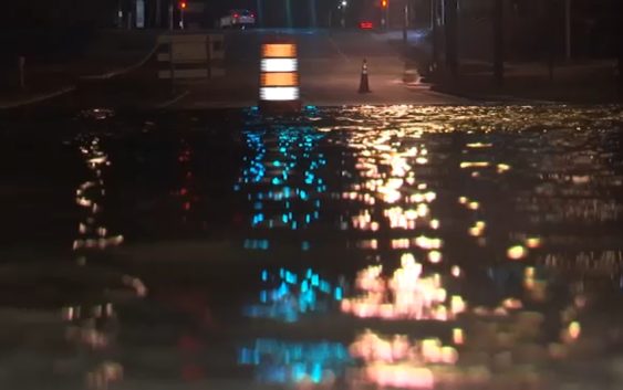
RALEIGH (WTVD) — Much of North Carolina is still dealing with the fallout from heavy rainfall over the last two days.
Several rivers, including the Haw, Cape Fear, Neuse and Tar, are expected to flood and become a problem over the weekend. The Tar River in Tarboro is expected to crest Sunday morning at 31.7 feet (flood stage is 19 feet and major flood stage is 32 feet).
The Neuse River could crest at 22 feet (flood stage is 15 feet and major flood stage is 20 feet) in Smithfield on Saturday morning while the Cape Fear River could crest on Saturday night.
River Flooding will be a problem over the next 48 hours. Here are some of the hot spots. Purple-Major Flooding expected at that point. #Flooding pic.twitter.com/iky1t4TOUd
— 𝘿𝙤𝙣 𝙎𝙘𝙝𝙬𝙚𝙣𝙣𝙚𝙠𝙚𝙧 (@BigweatherABC11) November 13, 2020
Many parts of central North Carolina are still under a Flood Warning through the morning commute, expected to end at 8:45 a.m. A stretch of Interstate 95 in Johnston County is still closed.
Near Smithfield, all lanes of I-95 North are closed at Exit 102 (Micro Road) due to flooding. The closure is expected to last into Friday afternoon.
Around 5 a.m., power lines were down on Lead Mine Road in Raleigh between Millbrook and Lynn roads. Traffic cones were set up to alert drivers.
For the latest traffic alerts, follow ABC11’s Kim Deaner on Twitter (@kimdeanerabc11).
Copyright © 2020 WTVD-TV. All Rights Reserved.