- Warf steps down as president of Carolina Hurricanes
- Tornado in North Dakota was the first at EF5 strength in a dozen years
- Eric Tulsky comfortable, confident and going for the Stanley Cup in 2nd year as Hurricanes GM
- 5 homes collapse into the surf of the Outer Banks as hurricanes rumble in Atlantic
- As hurricanes pass offshore, more Buxton homes collapse into the sea
Risk for severe weather returns for parts of central NC on Thursday
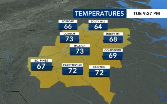
Raleigh, N.C. — It will be another warm day in central North Carolina with temperatures reaching the low to mid 80s on Wednesday.
After a mostly cloudy day on Wednesday, storms are possible on Thursday with parts of central North Carolina under a Level 1 risk for severe weather.
The storms are coming from a system that will likely produce rounds of severe storms across Texas, Nebraska, Iowa and Kansas on Tuesday, bringing severe storms to Louisiana, Arkansas, Tennessee and Illinois on Wednesday. But, the system will weaken before it arrives in the North Carolina.
Maze said damaging winds will be the greatest threat with Thursday’s storms.
Thursday will start off overcast with rain moving in from the west. There will be about a 50 percent chance of storms by 3 p.m. and into the evening.

“The activity may become a little bit more organized heading into the evening,” said Maze. “That’s where the Level 1 threat comes in.”
Friday and the weekend will be milder but still warm, with highs in the mid 70s. Dew points fall on Friday, so it’ll feel less humid.
Rain looks possible for Saturday and Sunday, but the weekend should not be a washout.
