- Florence to begin interviewing police chief finalists in January
- A West Texas county wants to better prepare for floods. Paying for it will be tricky.
- They couldn’t save their daughters’ lives in the July 4 floods. Now they’re dealing with the grief and the guilt.
- Austin could see heavy rains, possible flooding over the next few days
- Families of campers, counselors who died in Texas Hill County floods sue Camp Mystic
'Dangerous flash flooding' threaten Hill Country on Sunday, NWS says
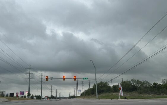
Update: 7:04 p.m.: The NWS has decided to extend the Flood Watch until 9 a.m. on Monday, July 14, morning. Most of the area still has very saturated soils, according to the weather agency. And any additional rainfall could quickly lead to rapid runoff and rises over rivers and creeks across the area.
Update: 4:21 p.m. Sunday, July 13: An updated situation report states that a Flood Watch remains in effect until 7 p.m. today for the Hill Country, Southern Edwards Plateau, and I-35 Corridor. Additionally, rainfall up to one to three inches with isolated amounts up to six inches is also possible.
The original story as follows:
According to the weather agency’s latest situation report, there’s a increased confidence for significant rainfall for the region on Sunday morning. Pockets of rainfall up to 12 inches are possible across the Hill Country and Edwards Plateau, according to the NWS.
While not every location in the Texas Hill Country is expected to experience flooding on Sunday, the area’s where the heaviest rain develops could see significant flooding, according to Chief Meteorologist Hunter Williams for KVUE.
According to a post online by Williams, a large complex of slow moving, torrential rain developed overnight on Saturday, July 12, slowly moving southeastward into the Austin area. So far, over eight inches of rain has already fallen in the San Saba area, prompting a rare Flash Flood Emergency.
As stated by Williams above, the widespread heavy rain is expected to impact Mason, Llano, Burnet, Kerrville, Fredericksburg, and northern Gillespie counties of the Hill Country. As of right now, a “moderate,” level 3 of 4, flash flood risk is being called for the area through Sunday morning.
A Flash Flood Watch was also called for portions of the Austin area along west of I-35, Williams added. That watch is expected to last through 7 p.m. on Sunday.
Through the rest of the evening on Sunday, the NWS is predicting a level two of four (slight) risk of storms across the majority of South Central
Texas. Rainfall amounts of two to four inches is expected, while some areas could see pockets of nine to 12 inches of rainfall in certain regions.
The NWS is expected to release their next situation report at 2 p.m. This story will be updated then with the latest information.