- U.S.-based aid groups rush to get supplies into storm-battered Jamaica after Hurricane Melissa
- Travelers stuck in Jamaica due to Hurricane Mellissa forced to pay for unwanted extended stay
- Raleigh police officer awaits word from family in Jamaica after Hurricane Melissa devastation
- North Carolina’s leaders give insight on the effects of Hurricane Melissa
- ‘We want some answers;’ Whiteville residents demand city response to prevent flooding
See where flooding happens: Central NC gets expanded water prediction tools
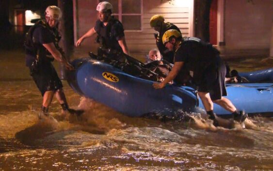
People living in central North
Carolina now have expanded tools to help them better understand where flooding
might happen in their area.
The National Weather Service’s
[NWS] experimental service is called Flood Inundation Mapping [FIM], which
serves about 60% of the U.S. population.
The maps are experimental and
may not represent actual flood content, according to the NWS. However, the maps
provide water prediction services and real-time actionable information to
emergency managers, decision-makers and the public.
“These
flood maps have been an essential tool for river, flooding flash, flooding and
hurricanes for the North Carolina coast and some
of our inland communities for years,” WRAL meteorologist Kat Campbell said.
“Now, more people in central North Carolina will have access to them.
“They will include areas near
rivers that have not previously had maps and forecasts.”
FIM provides approximate estimates of where the land area is covered with water based on modeled forecast river flows and the latest conditions. The information provides details on where the flood impacts may occur.
Three unique maps will be
available in near-real-time:
- National Water Model derived hourly inundation analysis of latest conditions, which shows where flooding is currently happening
- National Water Model based five-day inundation forecast, which are maps that show where flooding is expected to happen over the next five days
- River Forecast Center based five-day inundation forecast, which are maps along rivers that show where flooding is expected to happen over the next five days
These maps display the latest
conditions and forecast how far flooding could
spread. They can be displayed through the new National Water Prediction
Service (NWPS) website and the web-based NWS National GIS Viewer
application.
To access the information and the maps, visit the NWS website.
In the past year, North
Carolina has had severe flooding from hurricanes and tropical storms.
Parts of central North Carolina
are still recovering from floods due to Tropical Storm Chantal in July. Also,
Hurricane Helene ravaged western North Carolina in September 2024.
Central North Carolina had more
flash flooding reports by July 2025 than all of 2024, NWS data shows.