- Tropical Storm Melissa nears hurricane strength and dumps torrential rain on Caribbean
- NWS: Cold front brings tornado, hail, flood threat to San Antonio area
- Tropical Storm Melissa lumbers through the Caribbean as islands take cover from rain
- Tropical Storm Melissa brings flood risk to Haiti, Dominican Republic and Jamaica
- Army Corps evaluates Wrightsville Beach storm damage; could accelerate re-nourishment plans
NWS: Cold front brings tornado, hail, flood threat to San Antonio area

Update at 2 p.m.: The National Weather Service has issued a flood watch for portions of South Central Texas, which includes San Antonio, Austin, New Braunfels, Kyle, Kerrville, Georgetown, Fredericksburg, Uvalde and Del Rio. The flood watch will be in effect from 7 p.m. on Friday to 1 p.m. on Saturday, October 25.
NWS warns that “heavy rainfall and excessive runoff could lead to life threatening flash flooding somewhere in the watch area.” The flood watch warning states that one-to-three inches of rainfall with isolated amounts up to five inches possible in some areas.
The watch is in effect for Bandera, Bastrop, Bexar, Blanco, Burnet, Caldwell, Comal, Edwards, Gillespie, Guadalupe, Hays, Kendall, Kerr, Kinney, Lee, Llano, Medina, Real, Travis, Uvalde, Val Verde and Williamson counties.
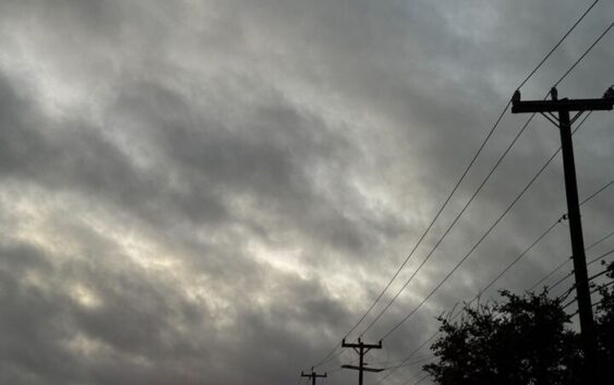
Original article: Severe storms are barreling toward Texas a cold front sweeps the state. For South Central and Central Texas, including the stretch of towns from San Antonio to Austin, this means increased risk of damaging winds and large hail. Plus, excessive rainfall could lead to isolated flash flooding, and a tornado can’t be ruled out.
Cities further into Texas have been waiting for a cold front to reach them after weeks of promised cooldowns which, in reality, became stalled fronts that didn’t even reach the Texas Hill Country. Now, a northerner is blowing in well past the Central Texas mark this weekend, but it’s bringing gloomy weather with it, including severe storm odds.
“The upper level trough moves over the southern Plains on Saturday. Forcing by the trough, a strong upper level jet, and a Pacific front/outflow boundary on a moist airmass in place will lead to one or two rounds of showers and thunderstorms over our area,” the National Weather Service Austin-San Antonio office warns. “The first round with the front/outflow boundary enters the Edwards Plateau early Friday evening…”
San Antonio sits right on the border of marginal to slight risk lines on maps shared by the national weather forecaster. For now, it’s areas just north of the Alamo City under a Level 2 of 4 risk for sever weather, including large hail and a possible tornado. Though, with that line separating a Level 2 from a Level 1 risk encompassing the northern portion of San Antonio, these impacts very well could be felt across the city.
It’s this risk where large hail, damaging winds and a possible tornado are the greatest threat Friday evening into Saturday morning. By Saturday afternoon, the risk level dips to marginal across the entire region, from the Texas Hill Country, down past San Antonio toward Pleasanton and east to Austin.
Excessive rainfall also poses a threat the South Central Texas region. The Texas Hill Country north of San Antonio and all the way east to Austin could see 1 to 3 inches of rainfall Friday night into the morning hours, and San Antonio – and towns south of it – could get pockets of rain totaling 2 inches or as little as half an inch.
What’s worse, another system could move through the area Saturday afternoon (if the first system clears out quick enough) creating the chance for additional rainfall on already soaked soil. It’s this additional 1 to 1.5 inches that could spell flash flooding risk for the greater San Antonio area.