- They couldn’t save their daughters’ lives in the July 4 floods. Now they’re dealing with the grief and the guilt.
- Austin could see heavy rains, possible flooding over the next few days
- Families of campers, counselors who died in Texas Hill County floods sue Camp Mystic
- Small plane bound for Jamaica with hurricane relief supplies crashes in Florida neighborhood
- Ask the Meteorologist: Did a tornado hit Johnston County Saturday night?
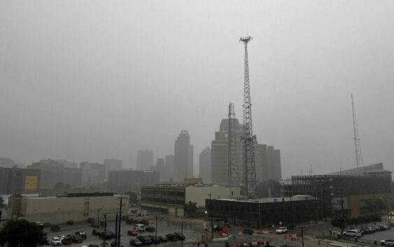
Flash flood warning issued as powerful storms batter San Antonio

As strong storms struck San Antonio in the early morning hours on Wednesday, May 28, the National Weather Service (NWS) issued a weather alert for the area. From now until 9 a.m., San Antonio is under a flash flood warning. Many folks may have received an alert on their phones regarding the weather situation described as “life-threatening.”
“This is dangerous and life-threatening situation. Do not attempt to travel unless you are fleeing an area subject to flooding or under an evacuation order,” the alert read.
The Bexar County flood map shows at least 24 roads that are closed due to high-water. The flash flood warning isn’t the only weather alert underway. NWS also issued a severe thunderstorm watch for counties south of San Antonio. According to forecasters, the storms are capable of producing hail up to two inches in diameter, wind gusts up to 70 miles per hour and frequent lightning. The weather alert is in effect until 8 a.m. Wednesday.
Back in San Antonio, forecasters expect storm chances to increase again this afternoon and evening. Rain chances will continue through the rest of the week, according to forecasters.
“Additional low to medium (20-60%) chances for showers and storms are forecast Wednesday through Saturday, with drier conditions expected to close out the weekend. Daytime highs trend from the 80s into the low 90s while overnight lows range from the mid 60s into the low to mid 70s,” NWS said.
The biggest outage areas are on the Northwest Side near the South Texas Medical Center and near Loop 1604 and Hausman area. Currently there is no estimate on when power will be resorted, but crews are working diligently to get those outages back up and running.