- Demolition begins on flood-damaged homes in Stoney Creek as neighbors await relief
- NC Office of State Fire Marshal aiding in Hurricane Melissa relief efforts
- U.S.-based aid groups rush to get supplies into storm-battered Jamaica after Hurricane Melissa
- Travelers stuck in Jamaica due to Hurricane Mellissa forced to pay for unwanted extended stay
- Raleigh police officer awaits word from family in Jamaica after Hurricane Melissa devastation
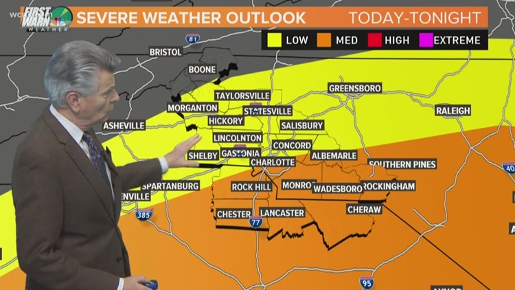
More thunderstorms possible in Charlotte Tuesday after severe weather leaves trail of damage

CHARLOTTE, N.C. — The Charlotte area is expecting another round of thunderstorms Tuesday as crews prepare to clean up the mess left behind by Monday’s powerful weather.
First Warn Forecaster Larry Sprinkle expects the majority of Tuesday’s storms to be south of Charlotte, but there is a threat of isolated thunderstorms across the Charlotte area.
“During the afternoon, we’ll see a line of storms develop with scattered and possibly a severe storm or two,” Sprinkle said. “Not as much rain as yesterday, though.”
Some parts of the Charlotte area saw more than an inch of rain during Monday’s storms. Hail was spotted in York County and damaging winds led to downed trees in several locations.
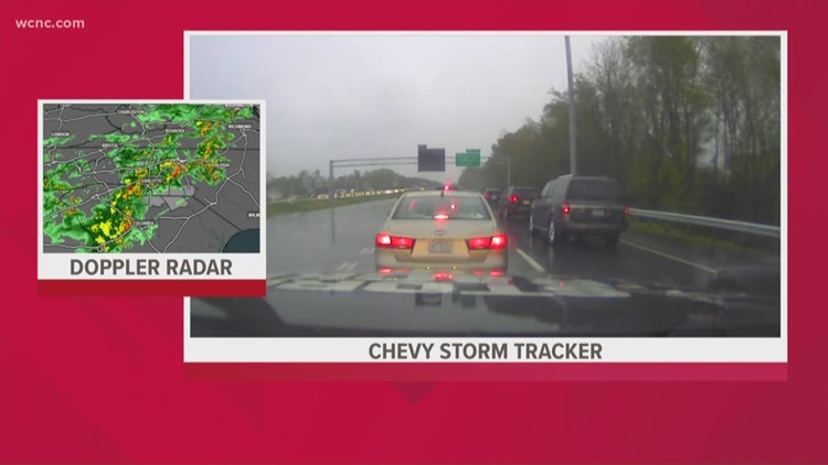
Chief meteorologist Brad Panovich and Sprinkle are monitoring a batch of storms that are moving through Georgia before making it to the Carolinas by the afternoon.
Sprinkle said we can expect light showers in areas south of Charlotte by 7 a.m. before there’s more widespread rain later in the day. The good news is the chance of severe weather is much lower than during Monday’s outbreak.
The highest threat on Monday was damaging winds, and trees and power lines were brought down due to it.
Despite the rain, the Charlotte area reached 82 degrees Monday afternoon — the warmest so far this year. Tuesday’s high is expected to be in the mid-to-upper 70s as we dry out through the weekend.