- They couldn’t save their daughters’ lives in the July 4 floods. Now they’re dealing with the grief and the guilt.
- Austin could see heavy rains, possible flooding over the next few days
- Families of campers, counselors who died in Texas Hill County floods sue Camp Mystic
- Small plane bound for Jamaica with hurricane relief supplies crashes in Florida neighborhood
- Ask the Meteorologist: Did a tornado hit Johnston County Saturday night?
Strong-to-severe storms possible for Central Texas
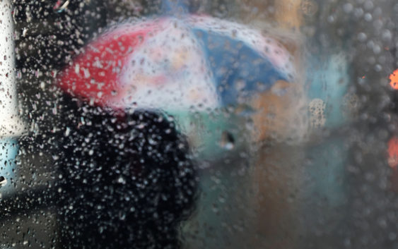
AUSTIN, Texas (FOX 7 Austin) – A developing upper-level low pressure system will be the driving force behind showers and storms throughout Central Texas heading into the weekend. Storms will develop in West Texas late Friday night before moving towards the I-35 corridor Saturday morning.
With increasing moisture and moderate instability in place, some thunderstorms that develop could become strong or severe. Any severe storms could produce large hail and damaging straight-line winds. An isolated tornado or two also can’t be ruled out.
Into Saturday afternoon, the storm system will be pushing east, taking the brunt of the rain with it. While some rain may be possible in the afternoon, chances will be on the decline.
Parts of East Texas and Louisiana will have a higher risk of severe weather, including long-lived tornadoes and large hail Saturday afternoon.
Average Central Texas rainfall totals during the day Saturday will be between 0.25” and 0.50”. A cold front will move in Saturday evening, ushering in cooler temperatures and lower humidity for the end of the weekend.