- UNCW students honor Hurricane Florence anniversary at diaper bank
- Tropical Storm Mario forms off Mexico's Pacific coast, expected to bring rain and possible flooding
- Trump approves federal disaster aid for storms and flooding in 6 states
- Duke Energy updates grid as hurricane season continues
- Life in the Time of Hurricanes
Hurricane Laura: The latest on storm’s impact on Texas, Louisiana
-
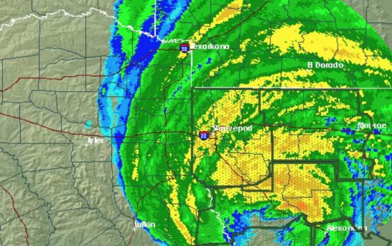
Hurricane Laura made landfall in Louisiana early Thursday, Aug. 27, 2020.
Hurricane Laura made landfall in Louisiana early Thursday, Aug. 27, 2020.
Photo: National Weather Service
Hurricane Laura made landfall in Louisiana early Thursday, Aug. 27, 2020.
Hurricane Laura made landfall in Louisiana early Thursday, Aug. 27, 2020.
Photo: National Weather Service
Greetings, Houston. Here’s the latest on Hurricane Laura:
Hurricane Laura made landfall near Cameron, Louisiana, around 1 a.m. as a strong category 4 hurricane.
8 a.m. update:
Laura was downgraded to a category 2 hurricane as it moved inland over Louisiana into Arkansas. Houston was spared, but residents in Louisiana and east Texas are getting their first look at damage as the sun rises.
In Lake Charles, Louisiana, video posted by storm chaser Michael Koch shows scores of windows broken on the Capitol One Tower.
– First light is revealing the incredible damage #HurricaneLaura did here in #LakeCharles #Louisiana over night… #Laura #CapitolOneTower pic.twitter.com/WSlP0MIZ0K
— WeatherGoingWILD (@WeatherGoinWILD) August 27, 2020
In Houston, wind gusts peaked around 30 mph, with winds gusting near 40 mph near Galveston, according to the National Weather Service.
The city of Galveston also lifted its evacuation order Thursday morning, allowing residents to return to the island.
Houston can expect high temperatures in the 90s, with “feels like” temperatures in the triple digits by the afternoon. Storms could crop up between 6 to 9 p.m., according to the National Weather Service.
Rain chances return this weekend.
jay.jordan@chron.com