- Carolina Beach is warning of potential King Tide flooding
- NCDEQ launches Hurricane Helene recovery grants program
- Why no hurricanes made landfall in the US in 2025
- Florence to begin interviewing police chief finalists in January
- A West Texas county wants to better prepare for floods. Paying for it will be tricky.
Houston-area school closures: Districts dismissing early Tuesday due to severe weather threat
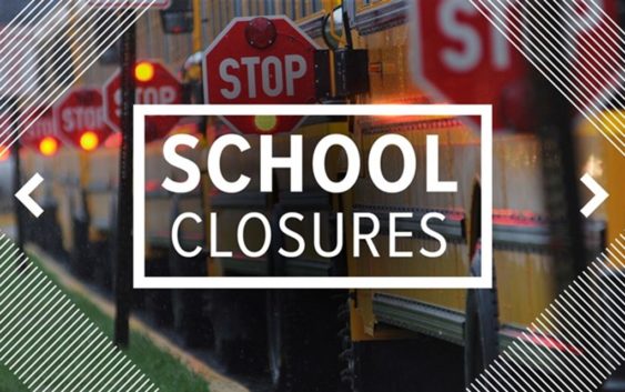
So far, one school district is dismissing students early because of Tuesday’s severe weather threat.
HOUSTON — Showers, storms, strong winds and even isolated tornadoes are expected Tuesday across the Houston area as a cold front pushes through.
The strongest storms should be in our area between 10 a.m. and 5 p.m.
At least one school district has decided to let students go home early in anticipation of the severe weather.
Early dismissals on Jan. 24
- Hull-Daisetta ISD — dismissing students at 1 p.m.
So far, no other districts have announced school closures or early dismissals for Tuesday. We will update this page when we learn more.
Tuesday’s severe weather
Tuesday will be a pretty wet day as widespread showers and storms are expected for the majority of the afternoon. These storms have the potential to be strong to severe with gusty winds.
After lunchtime, a squall line will develop along the incoming cold front, which could produce damaging winds and isolated tornadoes, especially for those south of I-10.
We should see the severe weather threat diminish at about 6 p.m. for those towards the west as the cold front pushes toward the coast.
Behind the front, temperatures will remain at or below normal for the remainder of January! In fact, a freeze is possible for some areas Thursday and Friday morning.