- Eric Tulsky comfortable, confident and going for the Stanley Cup in 2nd year as Hurricanes GM
- 5 homes collapse into the surf of the Outer Banks as hurricanes rumble in Atlantic
- As hurricanes pass offshore, more Buxton homes collapse into the sea
- Central Texas floods reveal need to shore up disaster response in unincorporated areas
- Latest: Tropical Storm Imelda will pull away from East Coast, expected to become a hurricane
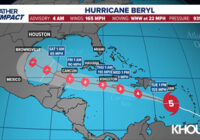
List: Closures and cancellations announced ahead of Tropical Storm Beryl
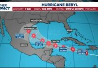
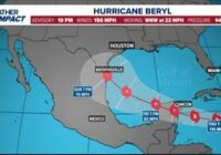
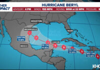
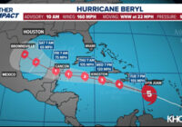
As Beryl heads to Southeast Texas, many are announcing closures and cancellations as a precaution. HOUSTON — As Tropical Storm Beryl heads toward Southeast Texas, several governmental entities as well as private organizations have announced closures and cancellations ahead of the storm’s arrival. City and county closures Galveston The city of Galveston will close city facilities on Monday and only essential personnel will report to work. This means police and fire services will continue as…
Read More


