- Houston Cougars take on A&M Aggies in charity exhibition game supporting Hurricane Beryl relief
- Hurricane Helene donations delivered to Avery County for Share the Warmth campaign
- Old Crow Medicine Show founder talks music, hurricane relief and this weekend's big benefit show
- IV fluid shortage caused by hurricane to last for months
- 'It financially annihilated us': Pregnant mother displaced for 2nd time after western NC floods
When It Comes To Flooding Preparation, Charlotte Appears To Be The Model

Two major hurricanes hit North Carolina in the last month, and, while the damage was severe to some parts of the state, damage from flooding in the Charlotte area was less than it would have been a decade ago. That wasn’t by accident — in fact, it was years in the making.
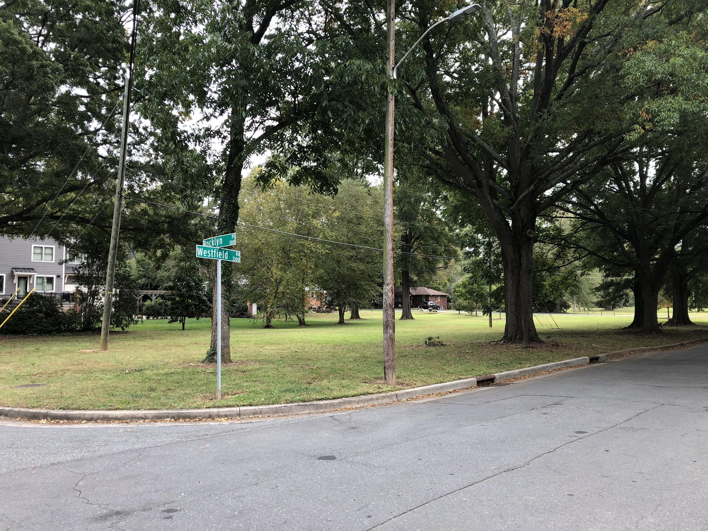
It all started in 1999 after Tropical Storm Jerry. Homes flooded in Charlotte and the storm caused $5 million in property damage. But as time passed, residents and local government officials forgot how bad the flooding had been.
It’s part of a cycle Dave Canaan with Mecklenburg County Stormwater Services calls the “illogical hydrological cycle.”
“First things that are done are studies, and then as a result of the studies comes cost,” Canaan said. “Now by that time, it’s been a year, maybe two years, and the flood has passed and people have recovered.”
The year 1995 came and went, then 1996, but it wasn’t until Hurricane Danny in 1997 that major flooding hit Charlotte again.
“What was different from the ‘97 flood from the ‘95 flood was there was a number of homes that flooded and they were outside of our mapped floodplains,” Canaan said. “That’s when we really got curious of how accurate are our floodplain maps.”
On top of that came pressure from people who lived in neighborhoods that flooded for the second time in three years. As Canaan remembers it, there was a watershed moment at a County commissioners meeting. Between 30 and 40 residents showed up with mops and buckets, he says, and they said something needed to change so they weren’t left to clean up alone after another flood.
What we know happened after that meeting is that local support for a new approach to flooding was clear. The days of trying to stop flooding were over. Now, it was time to stop the damage from it.
The first step was to buy out homes that were in floodplains — areas that are prone to flooding because they’re right by rivers that Tim Trautman with the county says, are meant to flood.
“We expect them to get out of their creek banks,” Trautman said. “The problem is that we have put homes and businesses in those areas that are meant to store floodwater.
With federal grants from FEMA, and funding from the county, and city, Charlotte started a home buyout program.
Since 1999, the program has bought out more than 400 homes in floodplains and demolished them.
Altogether, the buyout program cost more than $71 million. But, the buyouts have saved $27 million in property damages, according to the county. During Hurricane Florence alone, the program saved $1.9 million.
But buying out houses and knocking them down isn’t sustainable long-term. And while the county was organizing buyouts, it realized it needed more accurate flood maps. On top of a bridge over Little Hope Creek, is one of several dozen flood sensors that are placed at rivers across the county. John Wendell with the county stormwater services describes how the sensor works.
“See what this does is it sends a beam down to the water, so it knows the distance between the sensor and the water,” Wendell said.
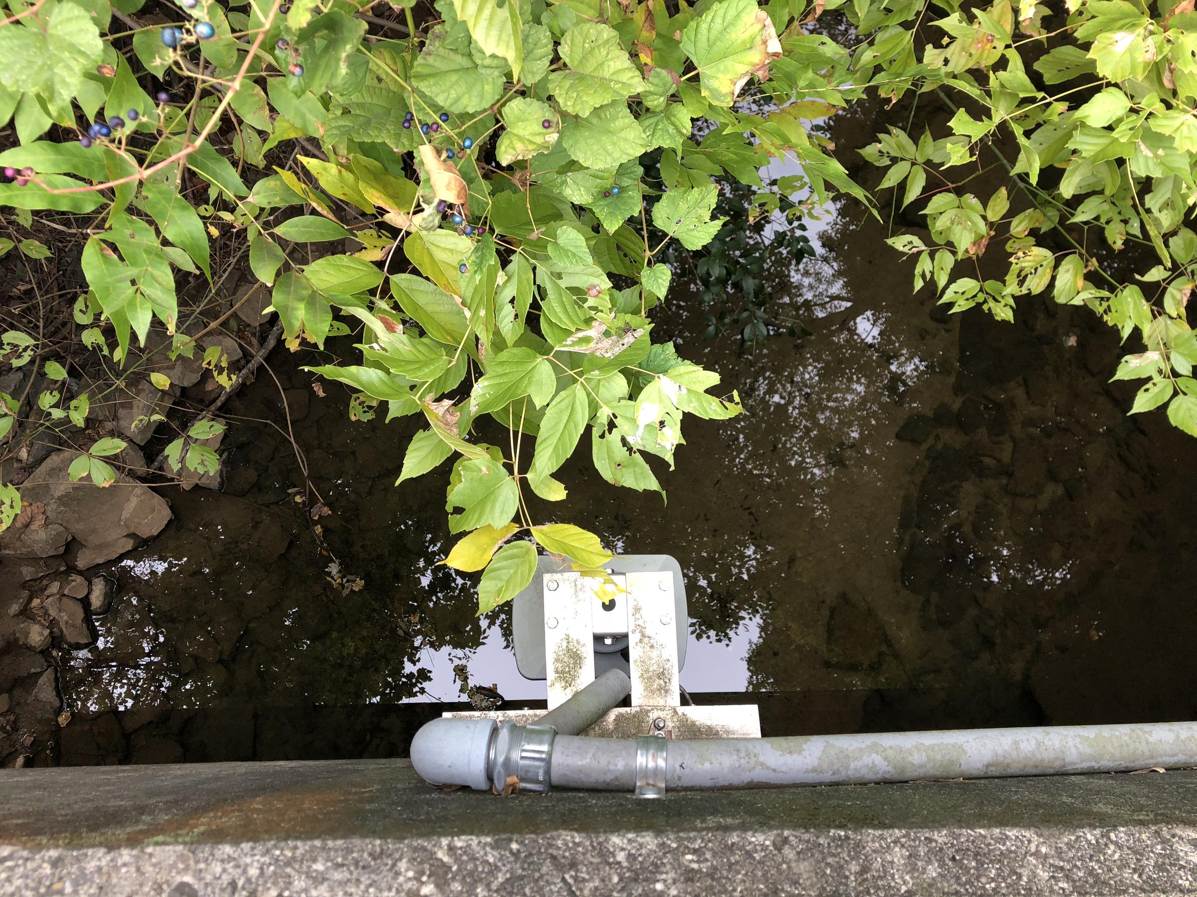
All of those sensors make up FINS — or the Flood Information & Notification System. They track flooding in real time.
“Once the water gets up so high to where it’s going to breach and go over the road, then the fire department gets notified,” Wendell said.
It’s like a smoke alarm, but for the rivers, he said.
And while the immediate emergency notification is useful for first responders, it didn’t solve a bigger issue Charlotte was facing. Outdated maps.
Most states use the flood maps FEMA provides. But in 1990s North Carolina, a lot of those maps hadn’t been updated since the 1970s. FEMA just didn’t have enough money to update all the flood maps across the country, all the time, the county said.
So, local government set aside a couple million dollars to map flooding. That included a new process called “future conditions floodplain mapping.” That takes land development and use into consideration, and helps determine how cities can best position themselves to avoid damage from flooding. To accurately map flooding, the state partnered with FEMA and the U.S. Geological Survey.
The program in Charlotte was getting off the ground when another hurricane hit the state in 1999, Hurricane Floyd.
“At the time, I was the planning administrator in the state budget office and one of the things in the planning section that I had underneath me was geographic information systems,” said John Dorman, the Director of the North Carolina flood mapping program.
Dorman took the FINS idea statewide — where it’s called FIMAN.
He used his political experience to get the North Carolina General Assembly on board with tracking rivers in real time and making future conditions floodplain maps for the state.
But in most states, it’s still hard to get legislators to budget for such an expensive service. Especially when they don’t currently have anything like it. Most still rely on old maps.
That’s why other states have partnered with North Carolina to develop similar programs, like Alabama and Florida. Even more, states have talked to experts on flood mapping in North Carolina to boost their own programs.
To Dorman, it’s clear that North Carolina is a great example for the rest of the country in its flood mapping and efforts to decrease damage from flooding.
“I think this is the best practice in the nation,” Dorman said of Charlotte.
To Dave Canaan with Mecklenburg County, the success of all the planning and preparation is attributed to a willingness for the city, county and state to adapt.
“Government doesn’t do it enough, to sit back and say alright times have changed, is the way we’re doing it really the right way to do it?” Canaan said. “And if the answer is no, then you need to stop.”
The answer was no to flood prevention, and yes to damage prevention. And, in this case, it looks like the government worked.