- 'She will be greatly missed': Memorial service held for 77-year-old woman killed in SA floods on June 12
- San Antonio officials warn residents to stay vigilant ahead of possible Thursday nights floods
- Flooding is possible in South Texas as we head into July 4th. Here's where.
- Flood Watch issued for counties west of San Antonio | Weather Impact Alert
- Possible heavy downpours and flooding in Hill Country counties | Weather Impact Alert
Strong storms with damaging winds, lightning possible Friday
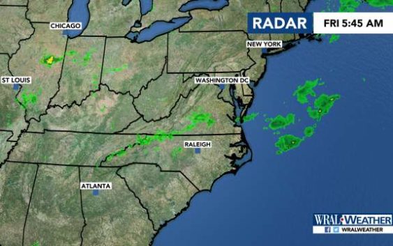
Raleigh, N.C. — After a string of hot but quiet days, the Triangle and eastern areas are under a slight risk for severe storms on Friday.
Durham, Raleigh, Fayetteville and eastward are under a level 2 risk for severe weather as a cold front moves in.
Those areas could see damaging winds, lighting and some hail, meteorologist Elizabeth Gardner said.
Western areas are under a level 1 risk, or marginal risk, according to the U.S. Storm Prediction Center.
“Anywhere has the potential for showers and storms today,” Gardner said.
The system comes after areas south of Fayetteville saw downed trees and damaged buildings after storms Thursday night.
Showers could pop up around lunchtime Friday, and around 2 or 3 p.m., storms are expected to develop.
Those storms will continue into the evening, with even more clusters of severe weather developing around 8 p.m.
Most will move east out of our area by midnight.
Temperatures will reach 90 degrees on Friday.

There’s a 30 percent chance of rain on Saturday as Friday’s cold front stalls. The high will be 87 degrees.
Sunday has another 30 percent chance of rain, with temperatures reaching 88 degrees.
Temperatures are expected to stay in the 80s next week.
