- Here's how to get your flooding debris picked up by the City of Houston
- Mosquito activity on the rise due to rainfall, flooding across Texas
- Volunteers help Conroe community clean up in wake of flooding in Montgomery County
- Why leaders are urging NC residents to start hurricane prep now
- Storms could produce hail, damaging winds south of Charlotte
Very large hail, tornado threat returns to Texas amid severe storm risk
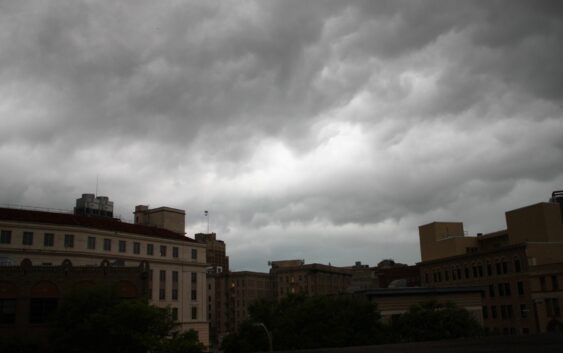
This means there is a slight risk for folks in the Boerne area up towards Kerrville to see a severe thunderstorm. The main threats include very large hail, damaging wind gusts and the NWS says an isolated tornado or two is also possible. It it Texas, and well anything can happen so it’s always good to be prepared.
Closer to San Antonio, folks here are at a level 1 risk for severe storms. However, the threat for hail and gusty winds remains.
So when will these storms hit? Meteorologists at NWS say the Hill Country will likely see storms between 1 a.m. Sunday to 7 a.m. Sunday. San Antonio will see storms later with the timing for severe weather to be from 7 a.m. Sunday to 1 p.m.
The NWS goes on to say that details and timing could likely change in the next 48 hours.
Isolated showers are in the forecast starting Friday, especially across the Hill Country and Central Texas. If you’re headed to the Battle of Flowers parade, it won’t be a bad idea to bring an umbrella or poncho just in case.