- ReadyBrunswick Hurricane Expo held in Bolivia
- Why the end of El Niño could spell an active hurricane season
- Flooding in South Florida grounds flights, strands Saint Augustine student and others
- After rare flash flood emergency, Florida prepares for more heavy rainfall in coming days
- Centers flooding state leaders with calls pushing for child care funding
Tornado watch issued for Williamson County until midnight Thursday
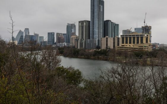
The area just north of Austin is at risk of tornadoes, large hail and damaging winds through Wednesday night.
The National Weather Service has issued a tornado watch until 12 a.m. Thursday for several counties, including Williamson and Burnet. Travis County is not included in the watch. A couple tornadoes and scattered hail up to 2 inches in size are possible, according to the NWS.
A tornado watch means conditions are favorable for tornadoes, and you should be prepared to take shelter if a warning happens, according to the NWS. A tornado warning means a tornado has been sighted or indicated by a weather radar, and you should take shelter immediately.
As the storm blows through the Austin area, here are a few ways to stay informed:
Follow updates from the National Weather Service below: